Marsh Bird Surveys

Help Us Track Marsh Bird Populations in Maine
The populations of many marsh birds appear to be declining in Maine, but these species can be difficult to detect without focused efforts. Because of this, the Maine Bird Atlas is conducting special surveys in 200 randomly selected marshes throughout Maine. Not only do these surveys give volunteers the opportunity to see some of Maine’s most pristine habitats and get a rare glimpse into the domain of these incredible birds, they are vital to helping us understand our marsh birds. The survey results will be used to track changes in distribution, identify areas where these species may still be relatively abundant, and help guide land protection efforts and habitat management.

Volunteers Needed for Marsh Bird Surveys
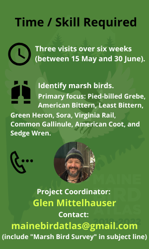
We are seeking volunteers to conduct playback surveys (following a simple field protocol) of marsh birds in 200 randomly selected wetlands across the state. This survey will require three visits to the same wetland over six weeks (between 15 May and 30 June) to observe species such as Sora, Common Gallinule, and Green Heron. The purpose of these surveys is to collect information on the abundance and distribution of nine focal marsh bird species (see specifics below). This limited number of species means there are only a few birds you need to be able to identify. You won’t need to explore the whole wetland as only specific survey points within each wetland will be surveyed. Check out the map below to see the survey marshes in your area.

Marsh Locations
|
Explore the marshes and survey points in the map below. If you zoom in far enough, you will see red dots indicating the survey points within each marsh. Click them to see details about each survey point. There are 1 – 8 survey points for each marsh, although most have 2-4. See details about each marsh by clicking the black & white icons on the map. (Note: Green icons should be ignored. They indicate marshes and survey points that are completed.)
SiteNum: ID number for the marsh. Access: Any known challenges associated with accessing the marsh. Permission: Anything known about landowner permissions for the marsh. PointID: The identification number for this point. The first part of this number is the same as the marsh ID number. |
Requirements for Surveying
1) A portable device for playing back calls in the field. This could be an ipod, mp3 player, tablet, ipad, or smart phone. We will send you the playback sound files via email, but you will need to download them onto a device that you can take into the field with you.
2) Speakers. Speakers should be able to broadcast 80-90 decibels at 1 meter in front of the speaker. If needed, you can borrow speakers from us that meet these requirements.
3) Life jacket. This is a safety precaution when boating in or walking through marshes.
4) Other recommended equipment. GPS (this can make finding your survey points easier).
5) Optional equipment. For some marshes a canoe or kayak will be necessary to access the area.
You will be provided with detailed maps of the area and survey points, a survey protocol handbook, datasheets, and playback audio files. Some preparation from you will be required to decide how best to access the site, request landowner permission (if applicable), and plan your survey schedule.
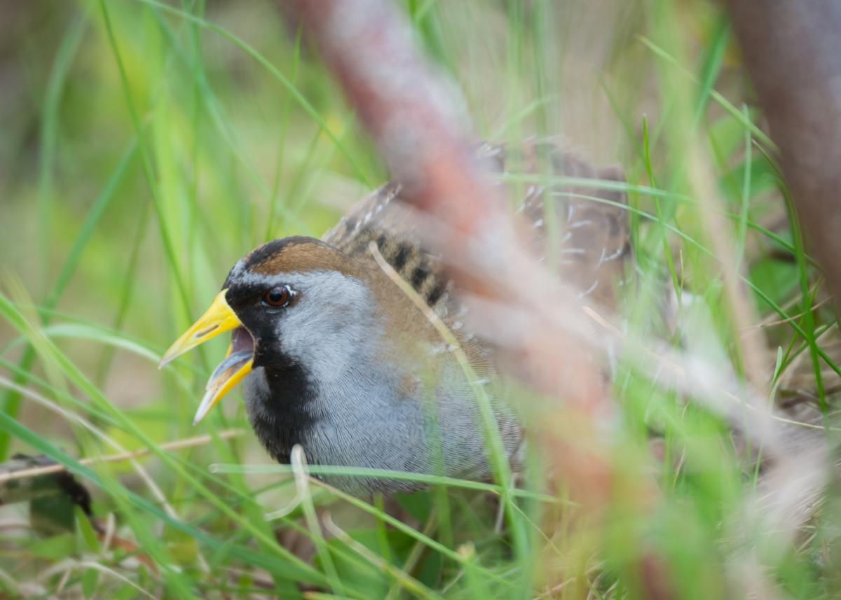
Sora by Logan Parker
The Nine Focal Species:
It may be useful to become familiar with the vocalizations of the handful of frog species which inhabit these wetland areas so as not to confuse them with any vocalizing birds. These include the Spring Peeper, Wood Frog, Northern Leopard Frog, Pickerel Frog, American Toad, Gray Treefrog, Green Frog, American Bullfrog, and Mink Frog. Examples of these calls can be found at https://musicofnature.com/calls-of-frogs-and-toads-of-the-northeast/
Schedule for Surveys
There are three windows for surveying (based on greatest likelihood of bird activity) and each survey point should be visited once during each window.
First Survey Window: May 15-31
Second Survey Window: June 1-14
Third Survey Window: June 15-30
Surveys may be conducted in the morning (a half hour before sunrise to 3 hours after sunrise) or the evening (2 hours before sunset to half an hour after sunset), but you should choose the time that works best for you stick to it for all survey points.
Permission to Access Private Lands
More than 95% of Maine is owned by private landowners. Consequently, many of the wetlands identified for surveying as part of this marsh bird monitoring effort are located on private lands. The Maine Bird Atlas staff will secure permission to access our target marshes that are on private property, when necessary. Be sure to display the Maine Bird Atlas volunteer placard in your vehicle at all times when conducting surveys. If access to your adopted marsh is “posted”, do not proceed with your surveys, obtain any contact info provided on the sign, and follow up with Maine Bird Atlas staff for further instructions. If you are approached by anyone while on site, be courteous and respectful, give them a copy of your Marshbird Survey letter that has been provided to you, and encourage them to contact the project director, as outlined in the letter, for more information.
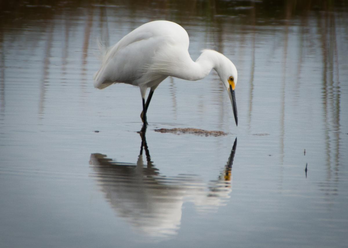
Snowy Egret by Logan Parker
Join the Project
If you are interested in adopting a marsh to survey or have any questions, send an email to Glen Mittelhauser (mainebirdatlas@gmail.com) and include "Marsh Bird Survey" in the subject line.
The Maine Bird Atlas depends on the enthusiasm and dedication of thousands of volunteers. Thank you!